Agia Watershed and Pinios River Delta, Thessaly Region, Greece
Project ended
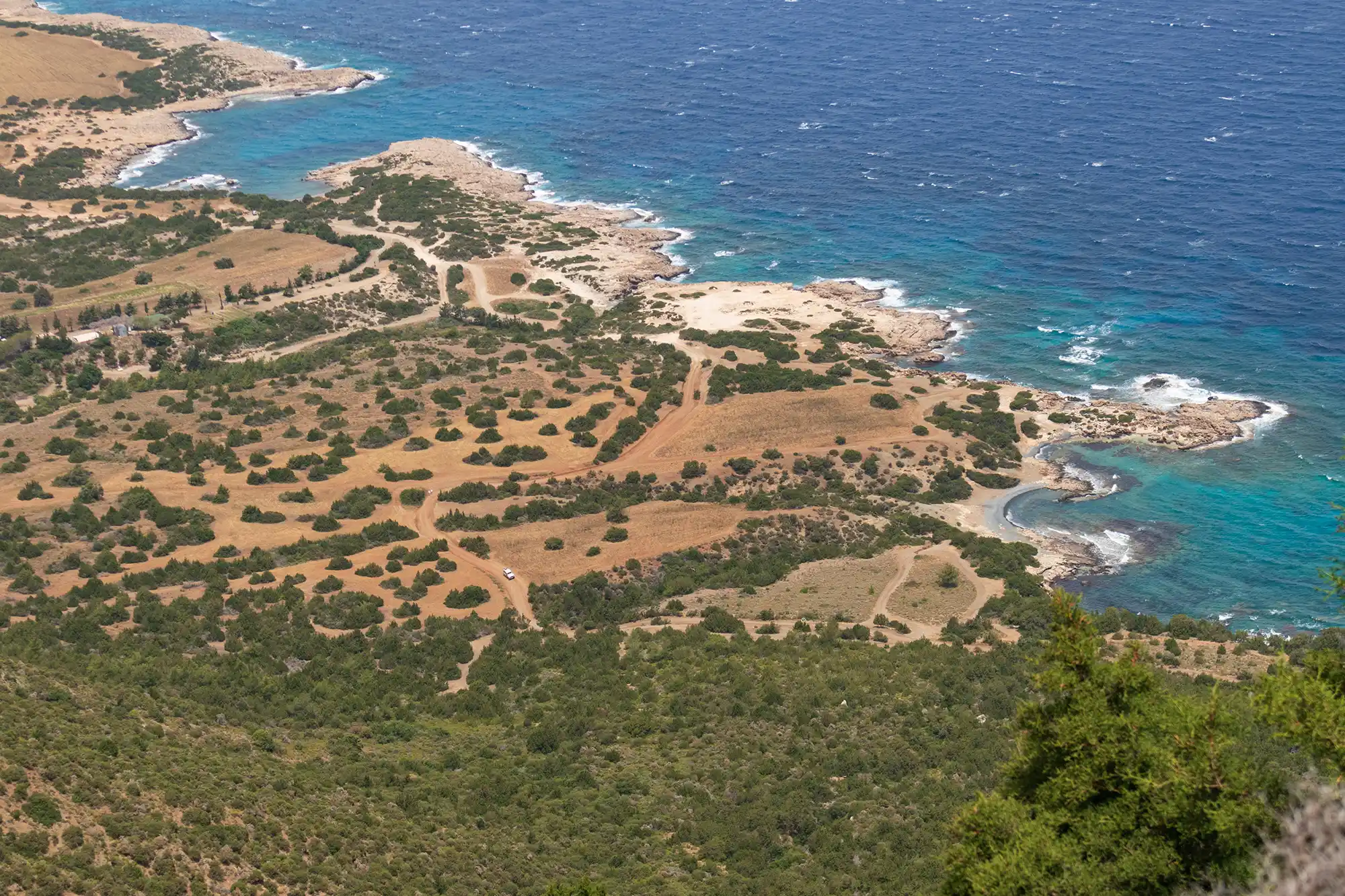
Pilot site
Two productive pilot areas in Thessaly—the Agia watershed and the Pinios River Delta—face persistent Water–Ecosystem–Food (WEF) pressures, including water scarcity/quality risks, ecosystem degradation, and declining agricultural viability. Within the LENSES project pilot activities, Nature-based Solutions were selected for both areas, and field implementation and assessment is described in detail for Agia (mulching and data-driven irrigation scheduling). In parallel, a separate participatory case study for the wider Pinios River Basin documents a structured stakeholder-engagement methodology to identify WEFE (Water–Energy–Food–Ecosystem) challenges and interdependencies and to support co-design of pathways and measures.
The Pinios River Basin (PRB) spans roughly 11,000 km² and is among Greece’s most intensively farmed basins. Agriculture is the dominant water user (reported as ~93% of total water consumption, 1,292 hm³), and long-term pressures include groundwater over-extraction since the late 1980s, water-quality risks (e.g., nitrates), and rising energy costs associated with deeper pumping of groundwater. The PRB is located in the region of Thessaly: the Agia watershed (~53 km²) is a highly instrumented long-term research site linked to the Pinios Hydrologic Observatory (PHO), while the Pinios Delta (~75 km²) is a highly productive plain where irrigation relies on both groundwater and surface water and where salinisation is identified as a key issue. Climate variability, infrastructure gaps, and cross-sector competition intensify nexus trade-offs.
Two complementary NBS were trialled in Agia: (1) mulching as a weed management and soil health practice and (2) irrigation scheduling using monitoring data and models to optimise timing and volumes. In parallel, the pilots leveraged the Pinios Hydrologic Observatory to provide high-frequency environmental data and informed advisory services. A participatory process was used to capture stakeholder needs and perspectives, while the pilot nature-based measures aimed to reduce irrigation water use, increase soil organic carbon, and support longer-term ecosystem protection and agricultural viability.
Two nature-based measures were trialled and described in detail by the LENSES project in the Agia sub-basin: mulching in orchards and soil water management through irrigation scheduling. Both measures were framed as practical farm-management changes intended to reduce pressure on water resources, improve soil condition, and support the long-term viability of local agriculture under climate stress.
Stakeholder participation was investigated through the REXUS project. The participatory approach was described as a response to long-standing disputes, confrontation, and stakeholder disengagement in the Pinios River Basin, and as a structured method for co-mapping challenges and co-shaping potential measures. It combined semi-structured individual interviews (to capture candid sectoral perspectives without group pressure) with group workshops where anonymised interview summaries were discussed and modelling outputs were presented as supporting evidence. Facilitators were highlighted as essential to managing contrasting viewpoints and building consensus. The process emphasised principles such as transparency in decisions and methods, neutrality, respect for privacy and time, and iterative learning, with an explicit distinction between genuine engagement and treating stakeholders as mere data providers. The overall strategy was structured in five steps—framing, mapping, involvement, co-production, and sharing—and was described as replicable and adaptable. Stakeholder mapping began with an initial list of more than 150 potential participants and was narrowed to around 50 invitees using criteria including sectoral representativeness, hierarchy coverage, geographic spread, inclusion of key policy/decision and implementation bodies, and pluralism of viewpoints. About 35 initially accepted, rising to 44 following nominations to improve representativeness. The resulting core group covered all nexus sectors (water, energy, food, ecosystems) and multiple institutional types, including decision/policy-makers, end users, citizens/NGOs, experts, private companies, and research/academia. Recruitment relied on a personalised protocol with systematic follow-up via phone calls and email, followed by in-person interviews and small group meetings, framed as a long-term trust-building investment.
Mulching (Agia sub-basin, apple orchards) was implemented as a weed management approach that replaces or reduces reliance on herbicide application. In practice, the method involved incorporating the weeds left in the corridors of the cultivation into the orchard system. To test its effects, a field experiment was carried out in April 2022 in apple orchards, immediately before the growing season. Soil sampling was conducted at 12 points across 8 different orchard parcels, producing 96 soil samples in total. Half of the samples came from parcels managed with mulching and half from parcels managed with herbicide application. Samples were taken from two soil depths (0–10 cm and 10–30 cm) to capture changes through the soil profile. The orchard parcels ranged from 0.18 to 1.91 hectares, with an average parcel size of 0.72 hectares. Soil organic carbon was measured in the Soil and Water Resources Institute laboratory using a wet combustion method (Walkley–Black), using the fine earth fraction (<2 mm). Results showed that mulching increased soil organic carbon compared with herbicide management, with statistically significant differences: soil organic carbon was higher by 31% in the upper 0–10 cm layer and higher by 7% at 10–30 cm depth. The text links these changes to climate mitigation potential (through preventing carbon losses associated with burning biomass) and to wider expected agronomic and environmental co-benefits, including reduced erosion risk, improved soil fertility, reduced herbicide use, and reduced nutrient washout to aquatic receptors.
Soil water management through irrigation scheduling (Agia sub-basin) was developed to reduce over-irrigation and the resulting over-abstraction of water resources, while keeping soil moisture at optimal levels for crops. The intervention is based on the Pinios Hydrologic Observatory (PHO), established in the Agia sub-basin in 2015, and on heavily instrumented pilot fields that function as demonstration sites for neighbouring farms. The scheduling approach relies on high-frequency monitoring of meteorological and agro-hydrological parameters, combined with hydrological modelling, weather forecasts, and data assimilation techniques that were initiated under the H2020 ATLAS project and further expanded under LENSES. The operational setup includes instrumentation installed across the basin, soil classification maps compiled from extensive field surveys, and a regional crop distribution inventory, which together support data-driven irrigation advice. In parallel, a dense telemetric groundwater level monitoring network feeds a platform that provides near real-time information on groundwater reserve status and monthly modelling predictions of expected evolution, supporting management decisions. The irrigation scheduling work aims to optimise both the duration and frequency of irrigation events to make better use of the soil’s water retention capacity and reduce the volume of water abstracted for irrigation. Preliminary results indicate a water consumption reduction potential ranging from 15% to over 50%. Beyond water savings, the intervention is described as reducing runoff and leaching (thereby limiting soil erosion and pollutant migration), helping maintain soil organic matter and avoid compaction, and managing soil surface and air humidity in ways that can reduce moisture-borne plant disease risks. The irrigation advice service is expected to be made available free of charge to all farmers in the pilot area in a generic (non-instrumented) version. However, there are practical considerations for scaling higher-precision scheduling: wider deployment may require investment in additional equipment to instrument more fields, adaptation of algorithms to cover all crops, and ongoing maintenance costs. Suggested routes to cover these costs include national or European financial aid mechanisms (Hellenic National Strategic Reference Framework 2021–2027, the new EU CAP, and the EU Green Deal), although the the current form of the developed service may not require additional capital investment for basic use.
Information not available yet.